
Nepal Flood 2026: Which Trekking Routes Are Affected? (Updated September 2026)
Most major trekking regions in Nepal, including Everest, Annapurna, and Manaslu, remain open for autumn 2026.
The recent flood and infrastructure damage are concentrated mainly around the Rasuwa and Trishuli corridors, affecting some roads and standard access routes toward Langtang, Gosaikunda, and the Tamang Heritage Trail.
Importantly, Langtang Valley itself should not be treated as completely closed.
While the usual Syabrubesi approach has been disrupted, alternative approaches to the Langtang Valley may be possible depending on current road and trail conditions.
This guide we igloo himlaya treks will be providing a region-by-region trekking status update, explaining which access routes are affected, highlighting alternative approaches for Langtang, and covering practical options for trekkers planning Nepal in autumn 2026.
What actually happened on 26 August 2026?
On the morning of 26 August 2026, a large section of glacier and rock broke off near Langtang Lirung on the Nepal–China border, roughly 2,100 metres above the valley floor, and triggered a catastrophic flash flood down the Bhote Koshi and Trishuli river systems.
The flood wave moved at an estimated 190 km/h through the first 35 kilometres, devastating settlements, roads, bridges, and hydropower projects along the corridor.
Affected districts: Rasuwa, Nuwakot, Dhading, and Gorkha bore the brunt of the disaster, with the Pasang Lhamu Highway (Betrawati–Rasuwagadhi) and the Rasuwagadhi–Kerung border crossing severely damaged.
The flood also impacted the Trishuli corridor downstream, affecting parts of Chitwan and Nawalparasi.
Casualty snapshot (provisional, still rising): As of 1 September 2026, Nepal’s NDRRMA confirmed 987 deaths and 3,916 people missing nationwide, with most bodies recovered downstream in Chitwan and Nawalparasi rather than in Rasuwa itself.
On the Tibet side, Chinese authorities reported 16 deaths and several hundred missing in Gyirong County. These figures are still being revised as rescue teams reach cut-off villages.
Why this matters for trekkers: The damage is corridor-specific, not nationwide. Everest, Annapurna, and Manaslu lie in entirely separate watersheds and have no connection to the Bhote Koshi or Trishuli rivers.
International headlines saying “Nepal flood” do not mean Kathmandu, Pokhara, or the major trekking regions are affected.
For broader context on Nepal travel safety, see our Nepal Travel Safety Guide. For monsoon-specific advice, read our Monsoon Trekking in Nepal guide.
Quick Answer: Is Nepal Safe to Trek in Autumn 2026?
Yes, most of Nepal’s major trekking regions remain open for autumn 2026. The main issue following the August 2026 flood is not a nationwide trekking closure, but localized damage to roads, bridges, and access corridors.
Everest, Annapurna, Manaslu, and several other major trekking regions remain open, while access toward the Langtang and Gosaikunda areas requires more careful route planning.
For Langtang specifically, the standard Syabrubesi approach has been disrupted, but trekkers may be able to use an alternative approach through Dhunche, Bharku, and Thulo Syabru before joining the Langtang Valley trail. This should be confirmed locally before departure because road and trail conditions can change.
Open vs. Disrupted Trekking Areas
- Open: Everest/Khumbu, Annapurna, Manaslu Circuit, Upper Mustang, Dolpo, Kanchenjunga, Makalu, Rolwaling, Helambu and other regions, subject to normal weather and local trail conditions.
- Access disrupted: The standard road approach toward Langtang through Syabrubesi, sections of the Rasuwa road corridor, and some roads around the Trishuli flood-affected area.
- Alternative access: Langtang Valley may still be accessible through alternative approaches where roads and trails are confirmed to be operational.
Updated: 2 September 2026, 09:00 NPT.
Nepal flood 2026: Region-by-region trekking status after the 2026 flood
-
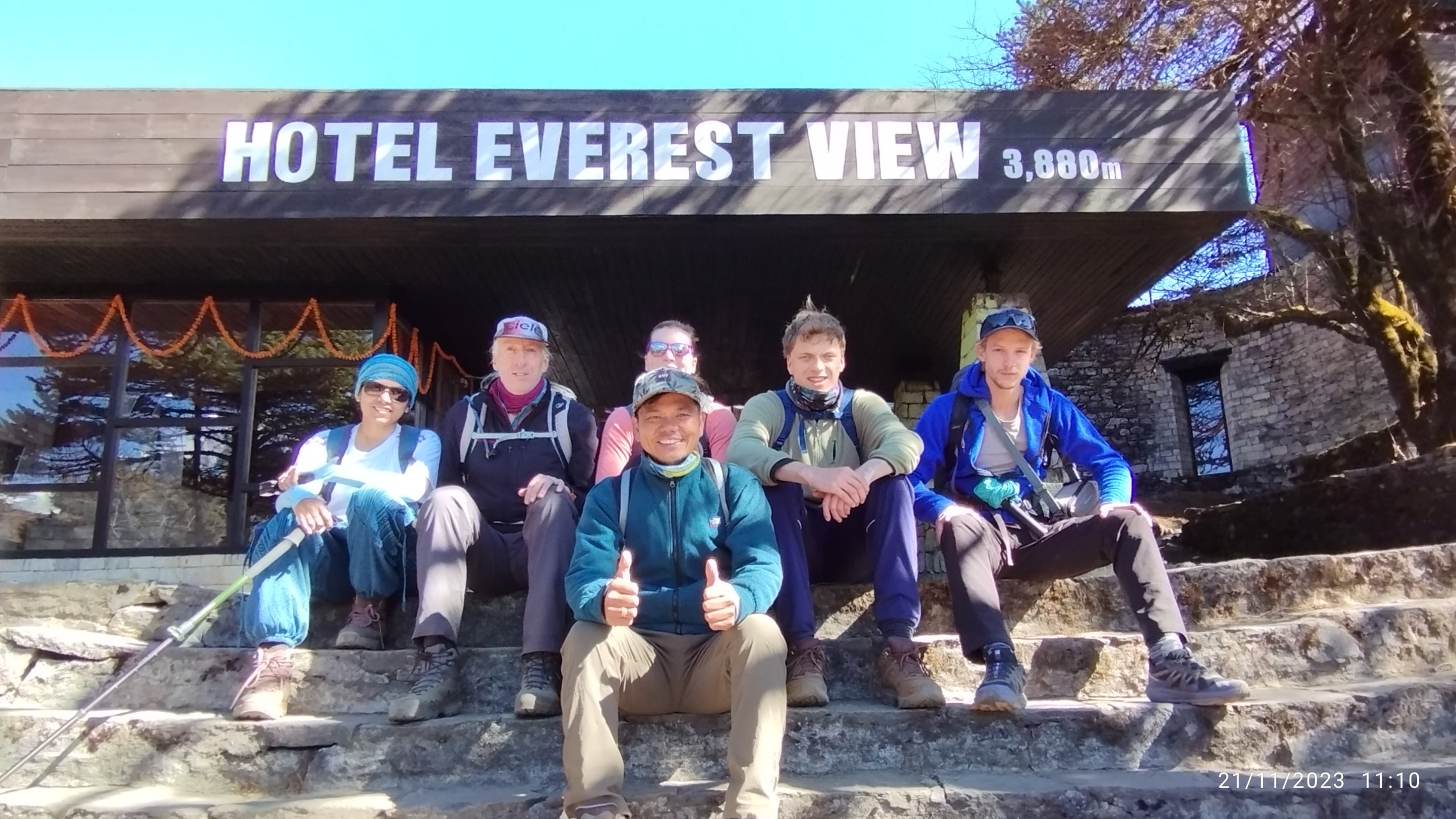
Everest Base Camp & Khumbu region – Open, unaffected
Status: Fully open; flights to Lukla operating, permits issued normally, teahouses and lodges running as usual.
Why: The Khumbu region drains into the Dudh Koshi river system, which has no connection to the Bhote Koshi or Trishuli flood corridor.
Lukla flights depart from Kathmandu until 24 September, then shift to Ramechhap (Manthali) for the autumn peak season, a normal seasonal arrangement, not flood-related.
Practical notes: You can expect normal autumn crowds from late September onward. Permits required include Sagarmatha National Park Entry Permit (NPR 3,000) and Khumbu Pasang Lhamu Rural Municipality Permit (NPR 3,000), totalling about NPR 6,000 (~US$45).
TIMS card is not required for EBC. If your itinerary includes long road transfers near the Trishuli corridor (e.g., Kathmandu–Pokhara drive), add one buffer day.
Igloo’s Everest Base Camp packages include experienced guides, permit handling, and flexible flight bookings; you can also consult with us for every detail regarding it.
-
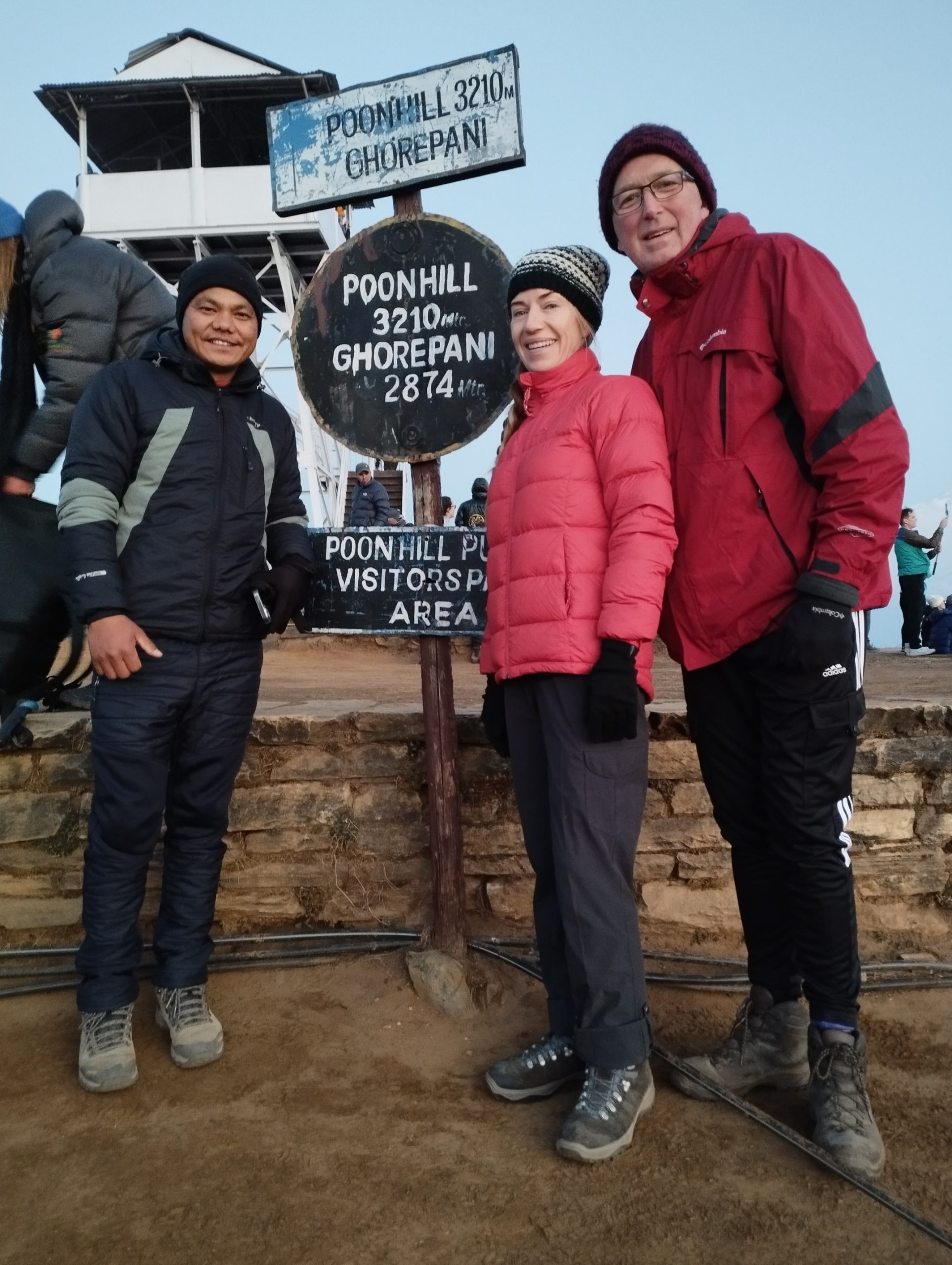
Annapurna region (ABC, Circuit, Poon Hill, Ghorepani) – Open, unaffected
Status: Open; Pokhara and main trailheads (Nayapul, Besisahar, Dharapani) accessible as normal.
Why: The Annapurna region drains into the Marsyangdi, Kali Gandaki, and Modi Khola watersheds, entirely separate from the Bhote Koshi/Trishuli flood zone. Pokhara itself was untouched by the flood.
Caveat: Earlier in August, heavy rain caused localised flooding around Birethanti and Nayapul, but these sections have been cleared and are now passable. TAAN has issued no travel alerts for Annapurna routes as of late August.
Practical notes: The Prithvi Highway (Kathmandu–Pokhara road) is currently blocked at Krishnabhir (see Road & Transport Updates below).
If driving from Kathmandu, check same-day status or consider flying to Pokhara (25-minute flight, multiple daily departures). Once in Pokhara, all Annapurna treks proceed normally.
Igloo’s Annapurna Base Camp and Annapurna Circuit packages depart regularly from Pokhara with flexible transport options.
-
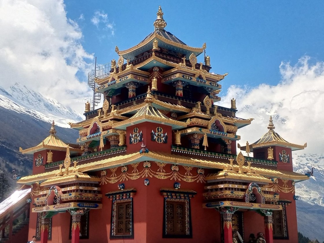
Manaslu Circuit & Tsum Valley – Open, unaffected
Status: Open; Budhi Gandaki watershed not impacted by Bhote Koshi flood.
Why: Manaslu lies in the Gorkha district, accessed via Arughat or Machha Khola on the Budhi Gandaki river system, entirely separate from the Rasuwa flood corridor.
Permits (Restricted Area Permit, MCAP) are issued in Kathmandu and are unaffected.
Access note: The standard approach road (Kathmandu–Arughat–Machha Khola) runs through Gorkha district and has not been reported as damaged.
However, late monsoon rains can cause typical landslides on the Arughat road; confirm road status on the day of travel.
Avoid the Malekhu–Dhadingbesi road if travelling from the Rasuwa side, as sections were damaged.
Practical notes: Manaslu is a restricted-area trek requiring a licensed guide, at least two trekkers, and permits arranged through a registered agency. All permit processing in Kathmandu is operating normally.
Igloo’s Manaslu Circuit packages include permit handling, licensed guides, and verified road transport.
-
Langtang Valley, Gosaikunda & Tamang Heritage – Access Disrupted, Alternative Routes Possible
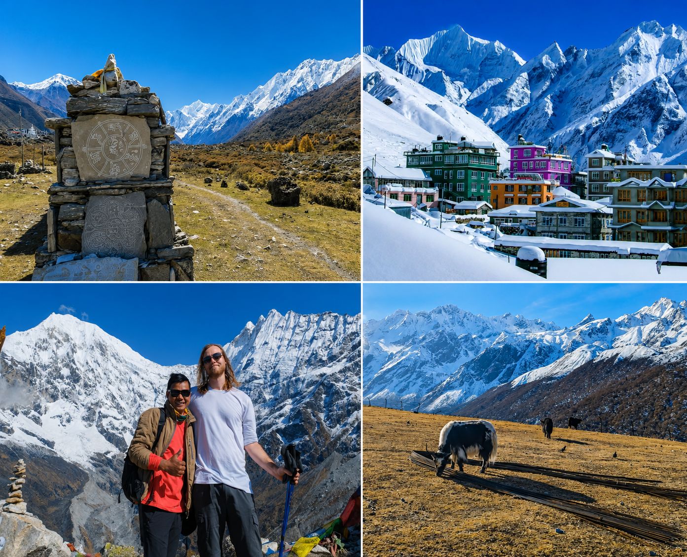
Status: The standard access route through Syabrubesi has been disrupted by flood-related road and bridge damage. However, Langtang Valley itself should not be described as completely closed. Alternative approaches may allow trekkers to reach the valley, subject to current local road and trail conditions.
The Pasang Lhamu Highway toward Syabrubesi and Rasuwagadhi suffered significant damage, making the usual vehicle approach unreliable.
Alternative approach to Langtang Valley
One possible alternative is to travel toward Dhunche, then continue through Bharku and Thulo Syabru, before joining the established Langtang trail toward Lama Hotel, Langtang Village, and Kyanjin Gompa.
This approach can help bypass the most affected section of the standard Syabrubesi access route.
However, trekkers should not assume that an alternative route is automatically safe or operational.
Road conditions, trail conditions, and local restrictions should be confirmed shortly before departure.
Gosaikunda and Tamang Heritage Trail
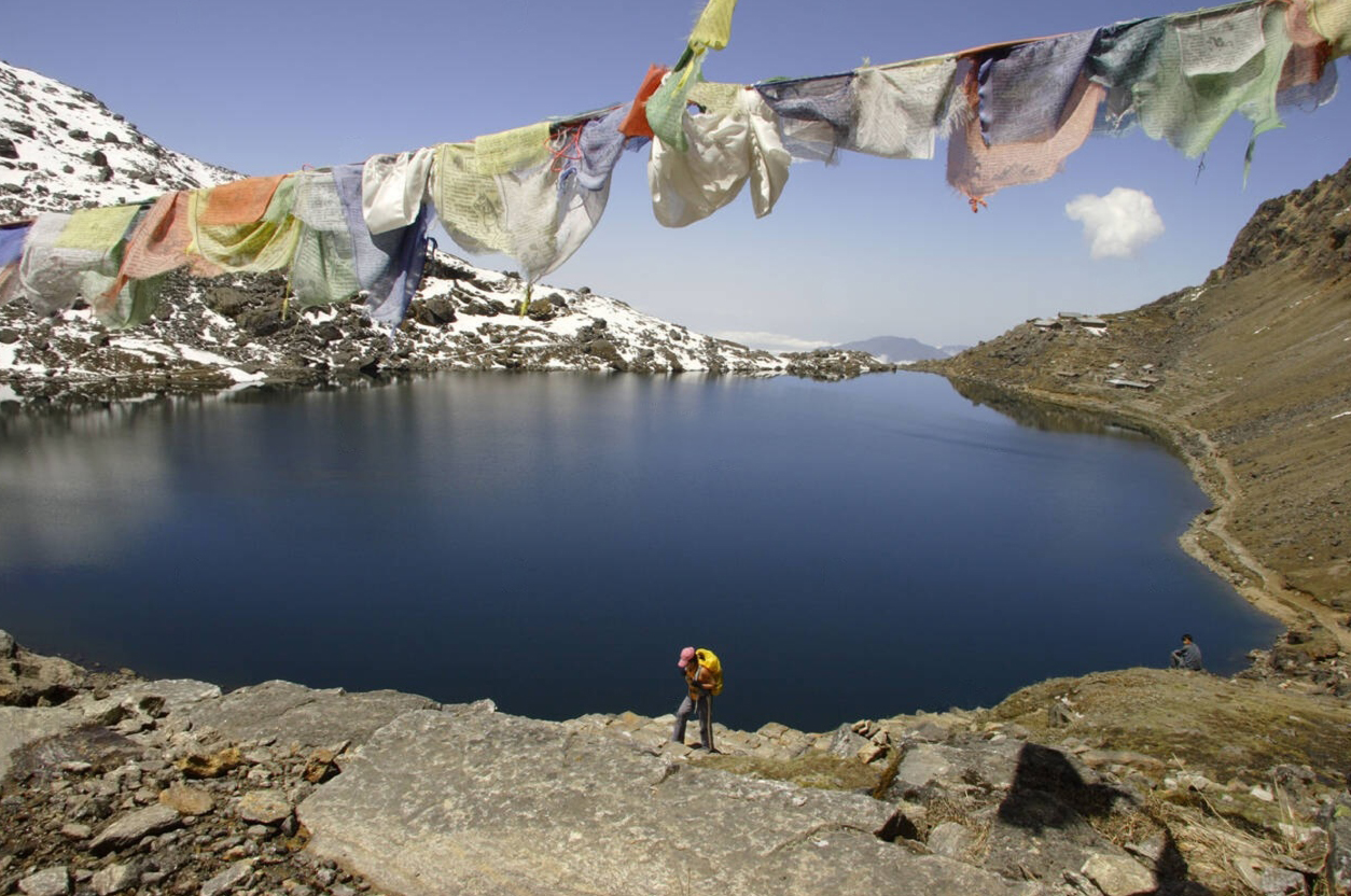
Conditions can vary between individual routes. Access to Gosaikunda and the Tamang Heritage Trail should therefore be assessed separately rather than treating the entire Rasuwa trekking area as closed.
Advice: If you are planning to trek to Langtang, Gosaikunda, or the Tamang Heritage Trail in autumn 2026, you can contact us for the latest information about the route. Our team can help you check whether the trek is currently possible, which access route is available, road and trail conditions, and other important details before you make your travel plans.
-
Helambu, Ruby Valley, Ganesh Himal – Partially affected by access roads
Status: Trekking areas largely safe, but key access roads and bridges disrupted.
Helambu: Trails were not hit by the flood, but Helambu sits on the edge of the disruption zone. The traditional round trail ending at Syabrubesi is currently unusable, but access via Sundarijal (north-east of Kathmandu) remains open.
Ruby Valley (Ganesh Himal): The trail itself is intact, but the Syabrubesi gateway and Kathmandu–Syabrubesi road were damaged.
Alternative trailheads via Dhadingbesi/Arughat may be possible; verify locally with your operator, or you can contact us for further info since we got guide in every place in Nepal.
Practical: Use alternative trailheads (e.g., Sundarijal for Helambu, Dhadingbesi/Arughat for Ruby Valley) where confirmed. Check with your operator before committing to these routes.
-
Overland Tibet / Kailash via Kerung – Closed
Status: Rasuwagadhi–Kerung border crossing damaged; overland Kailash trips via this route suspended.
Why: The customs post on the Nepal side was destroyed, and the approach road (Betrawati–Rasuwagadhi) is severed.
China closed the Tatopani crossing on 31 August due to landslide risk, leaving Korala in Mustang as the only functioning overland crossing into Tibet.
Alternatives: Consider flying to Lhasa and driving within Tibet (subject to permits), or use the Kodari/Tatopani or Simkot–Hilsa crossings where open. Overland Kailash via Kerung is not possible until further notice.
-
Kathmandu Valley & Tribhuvan Airport – Normal
Status: Airport and Kathmandu operations normal; different watershed.
Reassurance: Kathmandu sits over 60 kilometres from the worst-hit part of Rasuwa in a completely separate watershed.
International headlines saying “Nepal flood” do not mean Kathmandu is flooded. Hotels, restaurants, domestic flights, and permit offices are all operating normally.
Road & transport updates that affect trekkers
-
Kathmandu–Pokhara (Prithvi Highway) status
Current status: The Prithvi Highway is completely blocked at Krishnabhir in Dhading District, where the Trishuli River undercut and collapsed more than half of a 20-metre road section on 30 August.
The Mugling–Kathmandu stretch is closed in both directions, with district police estimating a month or more for repairs.
Earlier disruptions: On 27–28 August, the highway was blocked by mud and debris at Gajuri and Galchhi (Dhading), but these sections reopened by 28 August after cleanup. The Krishnabhir collapse on 30 August is a more severe, structural failure.
Advice: Do not attempt to drive Kathmandu–Pokhara until authorities reopen the road. Fly instead (25-minute flight, multiple daily departures from Kathmandu to Pokhara).
If you must travel overland, the detour via Hetauda and Chitwan is significantly longer and not recommended for tight schedules.
-
Rasuwa access roads(Betrawati–Syabrubesi–Rasuwagadhi)
Status: The main Betrawati–Syabrubesi–Rasuwagadhi corridor has suffered significant damage, with sections of road and bridges affected by the flood.
This has disrupted the standard vehicle approach to Langtang, particularly for trekkers relying on Syabrubesi as their trailhead.
However, the road situation does not necessarily mean that the Langtang Valley trekking trail itself is closed. Alternative approaches, including routes toward Dhunche, Bharku, and Thulo Syabru, may be considered when local conditions permit.
Advice: Do not rely on the standard Syabrubesi road route without checking its latest status. If you plan to use an alternative approach, confirm that the specific road and trail sections are open for tourist travel before departure.
-
Domestic flights (Lukla, Pokhara, Jomsom, etc.)
Status: Generally operating normally; no flood-related cancellations outside typical weather/monsoon norms.
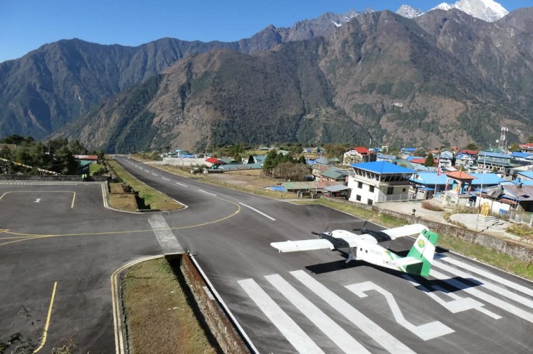
Lukla flights: Operating from Kathmandu until 24 September, then shifting to Ramechhap (Manthali) for the autumn peak season a normal seasonal arrangement, not flood-related. Expect possible weather-related delays (common in autumn), but no flood impact.
Pokhara flights: Multiple daily departures from Kathmandu (25-minute flight). Recommended while the Prithvi Highway is closed.
Jomsom, Manang, Juphal, etc.: Operating normally; no flood impact reported.
Advice: Book flexible tickets for autumn peak season. If your itinerary depends on road transport near the Trishuli corridor, add one buffer day.
What This Means for Autumn 2026 Trekking Plans
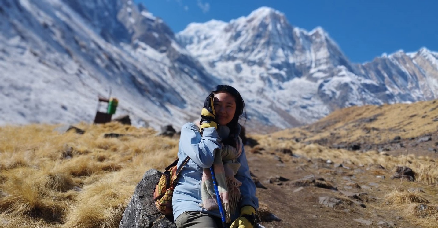
If you have a Langtang or Gosaikunda trek planned for autumn 2026, the recent flood damage does not necessarily mean you have to give up on the Langtang region.
The standard approach through Syabrubesi may be affected by the recent damage, but alternative approaches to Langtang Valley are being considered based on current road and trail conditions. One option is to reach Thulo Syabru via Dhunche and Bharku and then continue toward Lama Hotel, Langtang Village, and Kyanjin Gompa.
If You Had Langtang or Gosaikunda Booked
You may have several options depending on the conditions at the time of your trek:
- Take the alternative route to Langtang Valley: Instead of following the usual Kathmandu–Syabrubesi approach, trekkers may be able to travel Kathmandu → Dhunche → Bharku → Thulo Syabru and then join the Langtang trail toward Lama Hotel, Langtang Village, and Kyanjin Gompa. This route is intended to avoid the affected Syabrubesi approach, but it should only be used after confirming current road and trail conditions.
- Combine an alternative approach with Gosaikunda: Another option is to approach the Langtang region through the Gosaikunda side, depending on trail conditions and the itinerary you choose. This can turn the trip into a longer and more varied trek rather than simply replacing Langtang with a completely different destination.
- Switch to another trekking region: If access to the Langtang area remains difficult, you can consider alternatives such as Annapurna Base Camp, Manaslu Circuit, or the Everest region. These provide different Himalayan experiences and are geographically separate from the affected Langtang access corridor.
- Postpone your Langtang trek: If neither the standard nor alternative approach is practical when you are due to travel, postponing the trek until conditions improve may be the better option.
The Important Point for Autumn 2026
The situation should not be viewed simply as “Langtang is closed” or “Langtang is completely safe.” The condition of individual roads, bridges and trails can change, and different approaches may have different levels of accessibility.
If you specifically want to trek in Langtang, check the latest local conditions and ask your trekking agency or guide to verify the approach route shortly before departure. An alternative trail may make the trek possible, but it should never be assumed to be safe without current on-the-ground confirmation.
If you had Everest/Annapurna/Manaslu booked
- No need to cancel; proceed as planned. Everest, Annapurna, and Manaslu are in separate watersheds and remain fully unaffected.
- Add one buffer day if your itinerary uses long road transfers near the Trishuli corridor (e.g., Kathmandu–Pokhara drive). Flying to Pokhara is recommended while the Prithvi Highway is closed.
Alternative Routes and Trekking Options for Langtang in 2026
- Annapurna Base Camp (ABC): 10–13 days, max 4,130m. Similar length and altitude to Langtang, fully open, accessed from Pokhara.
- Manaslu Circuit: 14–17 days, max 5,106m at Larkya La. High-altitude classic, restricted-area trek requiring a guide and permits, fully open.
- Everest Base Camp (EBC): 12–14 days, max 5,364m. Iconic high-altitude trek, fully open, flights to Lukla operating.
- Upper Mustang: 10–14 days, max 3,800m. Desert-like landscape, Tibetan culture, restricted-area trek, fully open.
- Kanchenjunga Base Camp: 18–24 days, max 5,143m. Remote eastern Nepal, challenging, fully open.
- Pikey Peak: 8–10 days, max 4,065m. Short, scenic Everest views, less crowded, fully open.
Igloo’s Annapurna Base Camp, Manaslu Circuit, and Everest Base Camp packages depart regularly with flexible dates.
Safety checklist for trekking in Nepal after the 2026 flood
- Check official/credible sources: Monitor Nepal Police bulletins, NDRRMA updates, TAAN notices, and your embassy’s travel advisory before and during your trip.
- Confirm with your local operator: Ask specifically about road sections, trail damage, and emergency evacuation routes for your intended route.
- Build in buffer days: Especially if using road transport near the Trishuli corridor or Prithvi Highway.
- Travel insurance: Ensure coverage for high-altitude trekking (up to your maximum elevation), helicopter evacuation, and trip disruption/cancellation.
- Monsoon/landslide awareness: Even outside the flood zone, late monsoon (August–September) can bring landslides. Follow local guidance on trail closures and avoid riverbanks during heavy rain.
- Permit verification: Confirm permit requirements and processing times with your operator. Some regions (Manaslu, Upper Mustang, Dolpo) require restricted-area permits arranged in advance.
- Flight flexibility: Book flexible domestic flight tickets, especially for Lukla and Pokhara, to accommodate weather or operational changes.
How we verify this information
At Igloo Himalaya Treks, we take accuracy and transparency seriously. Here is how we verify every piece of information in this guide:
Daily monitoring of official bulletins: We track Nepal Police daily casualty and road-status updates, NDRRMA disaster reports, TAAN trekking advisories, and embassy travel alerts (U.S., U.K., Canada, Australia, etc.).
Field checks by our guides and teams: Our guides currently operating in Everest, Annapurna, Manaslu, and other regions provide real-time updates on trail conditions, teahouse status, and permit processing. We do not rely solely on news reports; we verify with people on the ground.
Frequently asked questions
Which trekking routes are affected by the 2026 Nepal flood?
The main disruption is concentrated around the Rasuwa and Trishuli corridors. The standard road approach through Syabrubesi has been affected, which can complicate access to Langtang, Gosaikunda, and Tamang Heritage routes. However, Langtang Valley itself should not automatically be considered closed, as alternative approaches may be possible depending on current local conditions.
Can I still trek to Langtang after the 2026 flood?
Potentially, yes. The standard Syabrubesi approach has been disrupted, but an alternative approach through Dhunche, Bharku, and Thulo Syabru may allow trekkers to join the Langtang Valley trail. Always confirm current road, trail, and local authority conditions before starting the trek.
Is Gosaikunda Trek open in autumn 2026?
Conditions can change quickly in the Rasuwa region. Rather than assuming the entire Gosaikunda route is closed or open, check the current condition of the specific access road and trail before departure. A local trekking agency or guide can help verify the latest situation.
When can I trek Langtang in 2026?
Langtang may remain an option for autumn 2026 if an alternative approach is operational and the relevant authorities permit tourist travel. Because conditions can change, confirm the route shortly before your planned departure rather than relying on a fixed reopening date.
Where can I check the latest official updates before trekking in Nepal?
Before starting a trek, especially in areas affected by recent floods or landslides, trekkers should check the latest road, trail, and travel information rather than relying only on older online reports. The Nepal Tourism Board provides official travel updates and safety information for visitors to Nepal. You can check the latest travel updates from the Nepal Tourism Board before your journey and confirm conditions with your trekking agency or local guide.


